


Environmental flows to keep the Usumacinta River free-flowing
By Sergio Salinas-Rodríguez
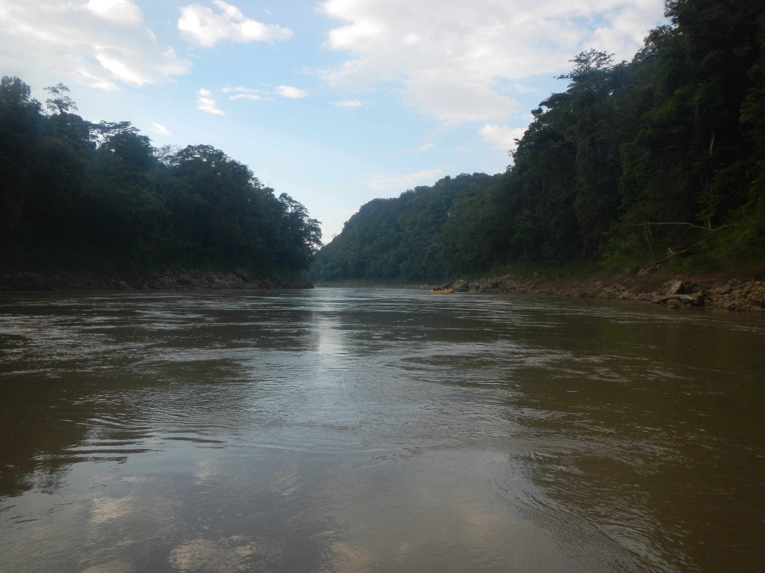
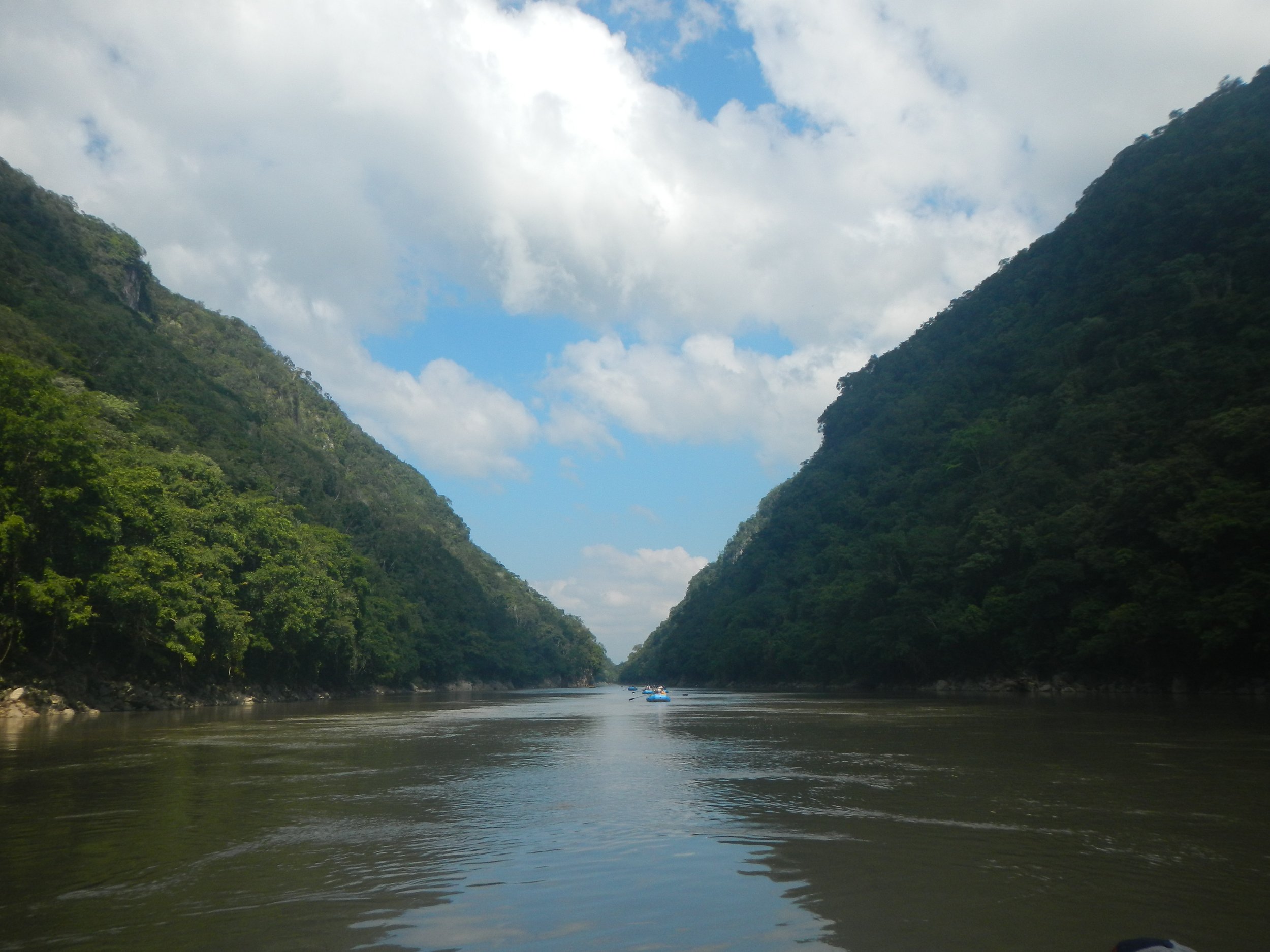
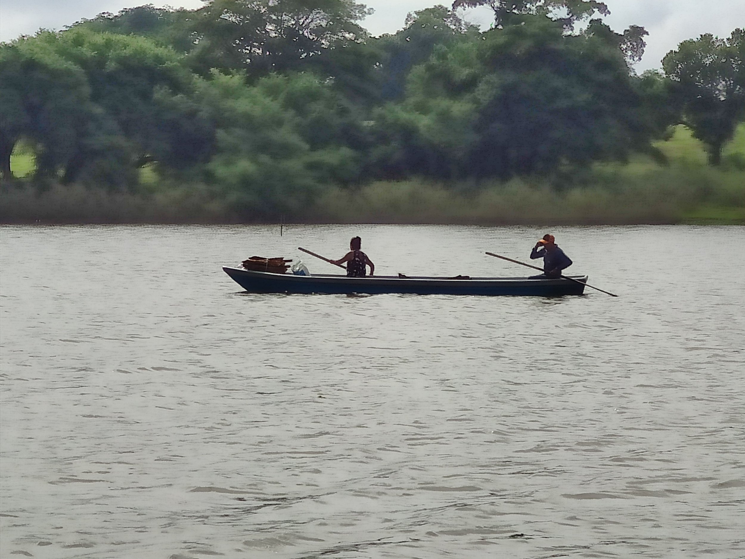
The Usumacinta River -place of monkeys in ancient Mayan language- drains for about ~73,000 km2 of river basin network, from the basin headwaters in Guatemala to its lowlands where it joins the Grijalva River in the Mexican territory to discharge together into the Gulf of Mexico. It is the biggest river from Mesoamerica in terms of discharge, ~62,000 cubic million meters or ~2.19 cubic billion feet per year.
Environmental flows, connectivity status, and highlighted biodiversity
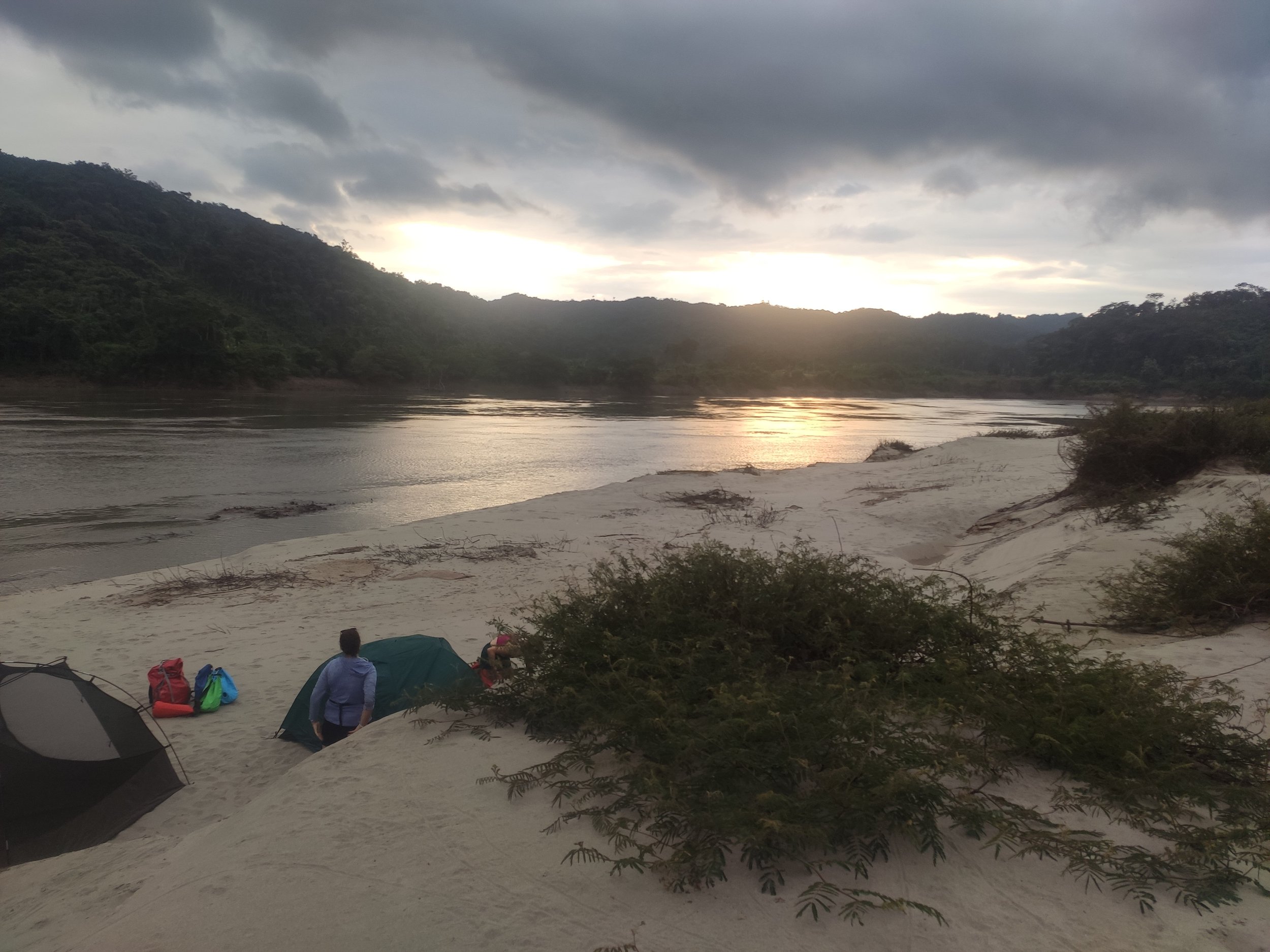
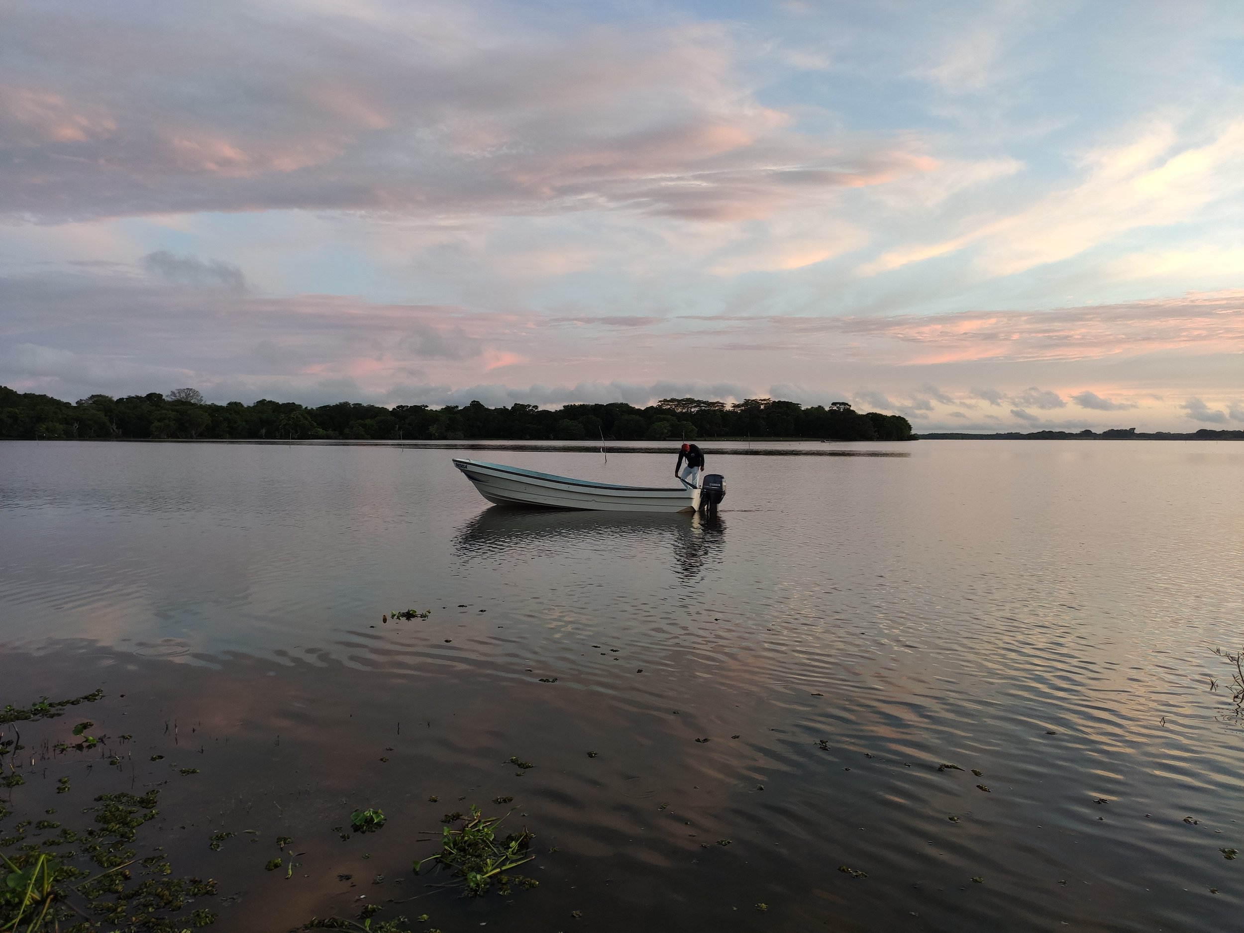
On the Mexican side, environmental flows are protected by law from 99% of the flow regime integrity along the border from Guatemala to 90% in the lowlands. The Usumacinta’s environmental water reserve secures the temporal connectivity in ~7,130 km of the free-flowing riverscape, 1,000 km of the main stem at least at a good status, and the flow pulse connection between the river and its floodplain, particularly in nearly 47,000 hectares (~116,000 acres) of the wetlands for international importance Catazajá Lagoon System and La Libertad, and in +300,000 hectares (~740,000 acres) in Pantanos de Centla Biosphere Reserve in the lowlands.
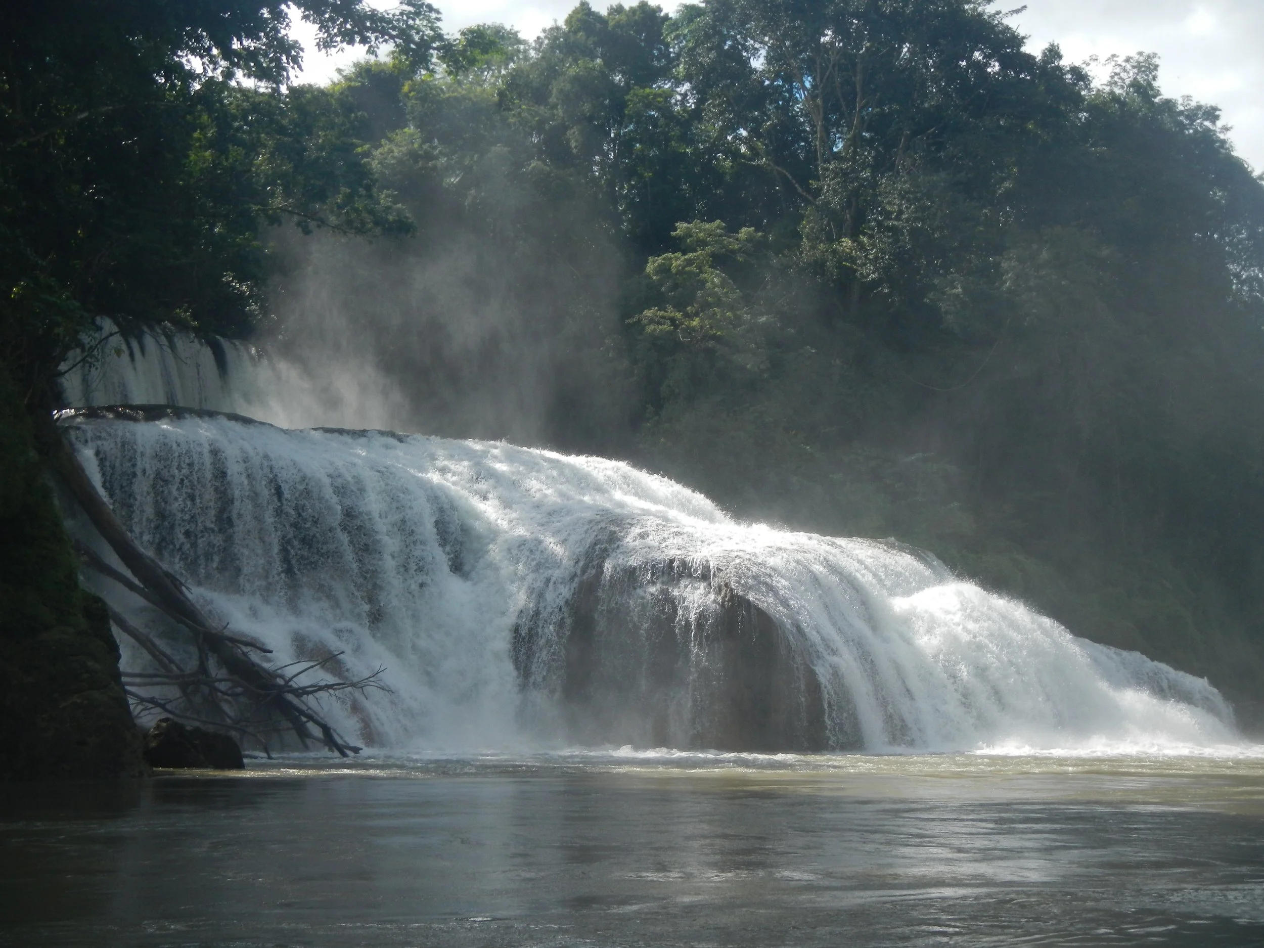
At a biodiversity level, the environmental flows protection benefits a total of 280 species representative of riparian vegetation, macroinvertebrates, fish, reptiles, and mammals. Of those, 78 are strictly freshwater-dependent species and are protected by national and international conservation lists. Highlighted examples are tropical swamp's trees campeche logwood (Hamaetoxylum campechianum) and conchil (Pithecellobium lanceolatum), migratory common snook (Centropomus undecimalis) and tarpon (Megalops atlanticus), and the manatee (Trichechus manatus). The Usumacinta’s environmental water reserve is one of 13 case studies where enabling and limiting factors to accelerate environmental flow implementation to bend the curve of global freshwater biodiversity loss were analyzed.
Threats, challenges, and the way forward
Hydropower projects have threatened the Usumacinta’s flow in the past, and they certainly will in the future. However, the enacted environmental water reserve has established an unprecedented in the basin: a hydropower project has been rejected in the Santo Domingo River (Usumacinta’s tributary), because it did not fulfill the environmental flow protection.
A complementary set of mechanisms is recommended to on-site securing the free-flowing condition of the Usumacinta. It is needed to advance in setting the basin’s management plan as the core of the environmental water governance. Such a plan should be fed by a long-term community- and conservation objectives-based monitoring program. The key is to build a metrics-based performance system focused on the flow-ecology relationships that grounded the environmental flow assessment (i.e. sustainable productive uses based on river-wetland connectivity, and targeted species).
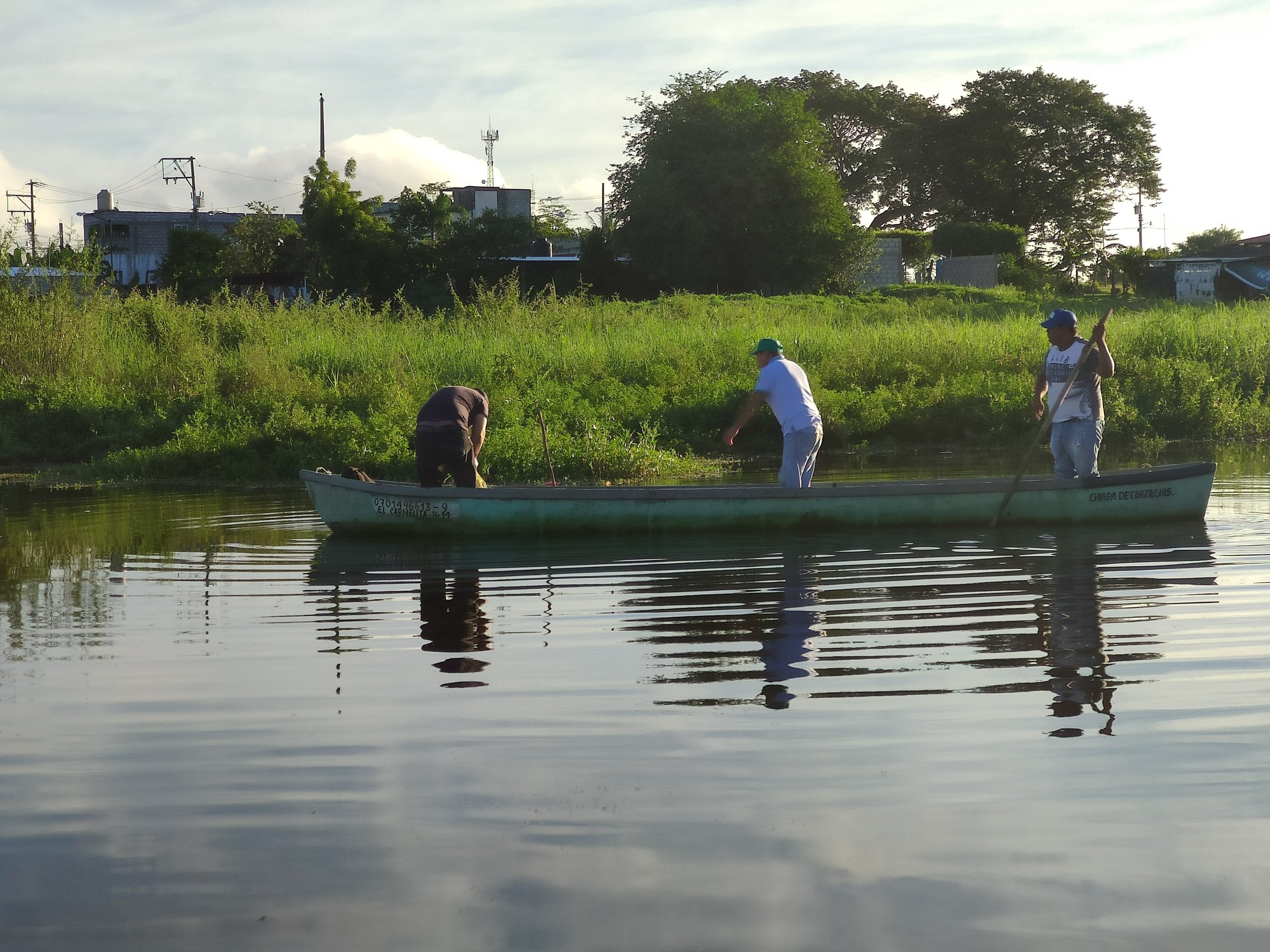
From 2021, an ongoing National Research and Advocacy Project “Ecohydrology for the sustainability and governance of water and basins for the common good” in the Usumacinta River by members of the Academic Group on Sustainable Management of Basins & Coastal Zones of El Colegio de la Frontera Sur (the Southern Border College) together with key community partners such as Catazajá Lagoon System inhabitants, the manatee's conservation project staff ran by the Secretariat of Environment and Natural History of the state of Chiapas, and other authorities. Such a project is operated by the Water Reserves Monitoring Network, and funded by the Mexican National Council of Humanities, Sciences, and Technologies (grant number 318956), and is expected to be finalized by 2024 contributing to the design and piloting of the water reserve community and ecosystem-based monitoring program.